USh 450,000
Topomatic Robur Suite 2026 | Road, Railway & Infrastructure Design Software
Rubaga • Oct 6, 2026
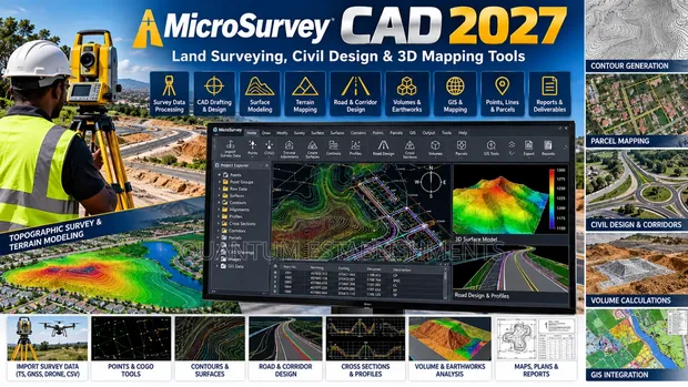
• MicroSurvey CAD 2027 offers advanced tools for land surveying, civil design, and 3D mapping. • Features include COGO, traverse calculations, boundary design, and contour generation. • Supports DWG, DXF, and LandXML file formats for seamless integration. • Enhanced performance with faster pan/zoom and improved drafting tools. • Intellicad 14.1 drafting engine ensures precision and efficiency. • Ideal for land surveyors, civil engineers, and geospatial professionals. • Installation, configuration, and technical support services are available.
 This item MicroSurvey CAD 2027 Software USh 500,000 |  Topomatic Robur Suite 2026 | Road, Railway & Infrastructure Design Software USh 450,000 |  Tally ERP9 Setup and Training USh 400,000 | |
|---|---|---|---|
| Type | Design | Design | Accounting |
| Format | Digital Download | Digital Download | Product Key Card |
| Platform | Windows | Windows | Windows |
| Software Name | MicroSurvey CAD 2027 | Topomatic Robur Suite | TALLY ERP9 |
| Price | USh 500,000 | USh 450,000 | USh 400,000 |
USh 450,000
USh 400,000
USh 350,000
USh 350,000
USh 350,000
USh 500,000
USh 500,000
USh 600,000